Shoeburyness: Lähimmät rannat - 47 säteellä 64 km
Kaupunki, Southend-on-Sean kreivikunta, Englanti, Yhdistynyt kuningaskunta
Tärkeimmät ominaisuudet: Kalliot, Leija tai purjelautailu, Hyvä SUP
Karttanäkymä sisältää enemmän rantoja, lähialueen hotellien hinnat sekä suodattimet rantatyypille, alustalle, ruuhkaisuudelle ja palveluille.
Avaa karttaKaikki rannat sisällä 64 km alkaen keskusta


Kingsgate Bay beach
47.6 km keskustasta Shoeburyness


Folkestone Beach
57 km keskustasta Shoeburyness


Felixstowe Beach
61.2 km keskustasta Shoeburyness


Botany Bay beach
46.9 km keskustasta Shoeburyness


Joss Bay beach
48.1 km keskustasta Shoeburyness


St Margaret's beach
58.8 km keskustasta Shoeburyness


Frintonin ranta
45.6 km keskustasta Shoeburyness


Whitstablein ranta
24.5 km keskustasta Shoeburyness


St. Mildred's Bay
41.2 km keskustasta Shoeburyness


Stone Bay beach
48.5 km keskustasta Shoeburyness


Dumpton Gap beach
48.9 km keskustasta Shoeburyness


Dover beach
57.9 km keskustasta Shoeburyness

Haluatko nähdä koko listan?
Tämä opas näyttää päärannat. Kartta sisältää kaikki rannat sekä suodattimet hiekalle, rantaklubeille, ruuhkatasolle, kulkuyhteyksille jne.
Avaa koko rantakartta


Sunny Sands beach
56.9 km keskustasta Shoeburyness


Sandgate-ranta
56.3 km keskustasta Shoeburyness


Greatstone beach
63.5 km keskustasta Shoeburyness


Dymchurch beach
57.9 km keskustasta Shoeburyness


Tankertonin ranta
25 km keskustasta Shoeburyness


Herne Bay beach
28.6 km keskustasta Shoeburyness

Vaikea valita?
Käytä rantakarttaa ja suodata:
- Hiekka vai pikkukivet
- Rauhallinen vai vilkas
- Pysäköinti ja kulku...
- Yleinen ranta vai rantaklubi
- Kävelyetäisyys
Kingsgate Bay beach
47.6 km keskustasta Shoeburyness
Folkestone Beach
57 km keskustasta Shoeburyness
Felixstowe Beach
61.2 km keskustasta Shoeburyness
Botany Bay beach
46.9 km keskustasta Shoeburyness
Joss Bay beach
48.1 km keskustasta Shoeburyness
St Margaret's beach
58.8 km keskustasta Shoeburyness
Frintonin ranta
45.6 km keskustasta Shoeburyness
St. Mildred's Bay
41.2 km keskustasta Shoeburyness
Stone Bay beach
48.5 km keskustasta Shoeburyness
Dover beach
57.9 km keskustasta Shoeburyness
Sunny Sands beach
56.9 km keskustasta Shoeburyness
Greatstone beach
63.5 km keskustasta Shoeburyness
Haluatko nähdä koko listan?
Tämä opas näyttää päärannat. Kartta sisältää kaikki rannat sekä suodattimet hiekalle, rantaklubeille, ruuhkatasolle, kulkuyhteyksille jne.
Avaa koko rantakartta
Dymchurch beach
57.9 km keskustasta Shoeburyness
Herne Bay beach
28.6 km keskustasta Shoeburyness


Walpole Tidal Pool
44.7 km keskustasta Shoeburyness


Viking Bay beach
48.7 km keskustasta Shoeburyness


Ramsgate beach West
48.9 km keskustasta Shoeburyness


Walmer beach
55.6 km keskustasta Shoeburyness

Vaikea valita?
Käytä rantakarttaa ja suodata:
- Hiekka vai pikkukivet
- Rauhallinen vai vilkas
- Pysäköinti ja kulku...
- Yleinen ranta vai rantaklubi
- Kävelyetäisyys
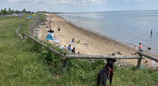
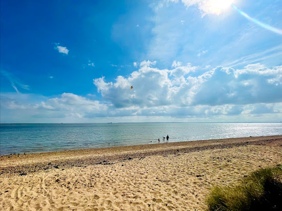
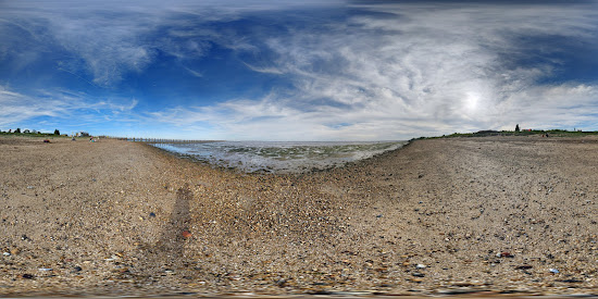

Shoebury Itä-ranta
0.5 km keskustasta Shoeburyness


Sheernessin ranta
10.1 km keskustasta Shoeburyness
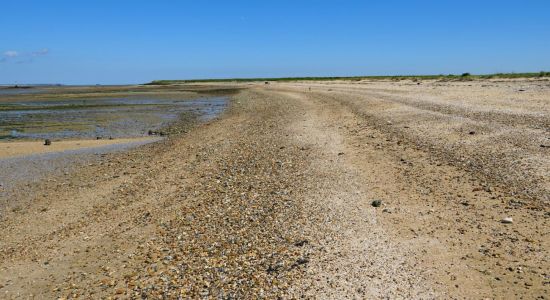
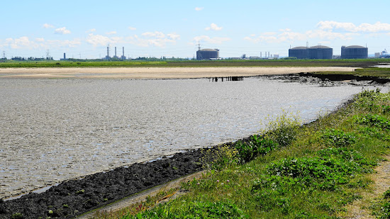
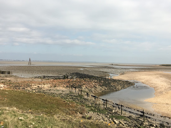

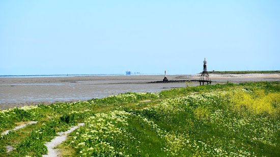
Yantletin ranta
10.5 km keskustasta Shoeburyness



West Mersea beach
28.4 km keskustasta Shoeburyness


Fen Farm beach
31.7 km keskustasta Shoeburyness


Brightlingsea ranta
34.1 km keskustasta Shoeburyness
Vaikea valita?
Käytä rantakarttaa ja suodata:
- Hiekka vai pikkukivet
- Rauhallinen vai vilkas
- Pysäköinti ja kulku...
- Yleinen ranta vai rantaklubi
- Kävelyetäisyys
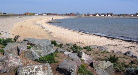
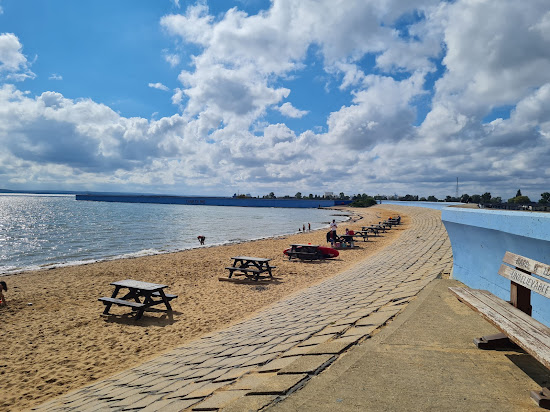
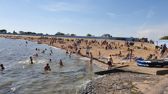

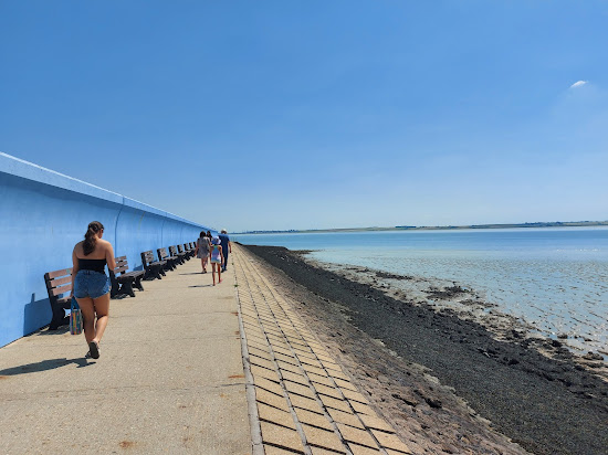
Thorney Bay Beach
14.6 km keskustasta Shoeburyness


Jaywick Sands beach
35.3 km keskustasta Shoeburyness


Minnis Bay Beach
37.7 km keskustasta Shoeburyness

St. Mildred's Bay
41.2 km keskustasta Shoeburyness


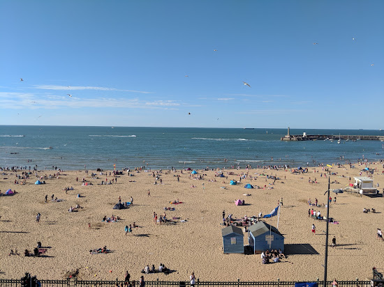
Margate Beach
43.2 km keskustasta Shoeburyness

Walpole Tidal Pool
44.7 km keskustasta ShoeburynessVaikea valita?
Käytä rantakarttaa ja suodata:
- Hiekka vai pikkukivet
- Rauhallinen vai vilkas
- Pysäköinti ja kulku...
- Yleinen ranta vai rantaklubi
- Kävelyetäisyys
Shoebury Itä-ranta
0.5 km keskustasta Shoeburyness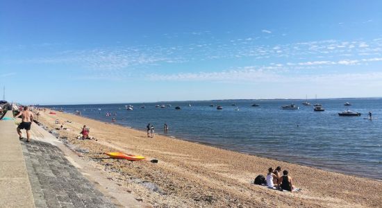
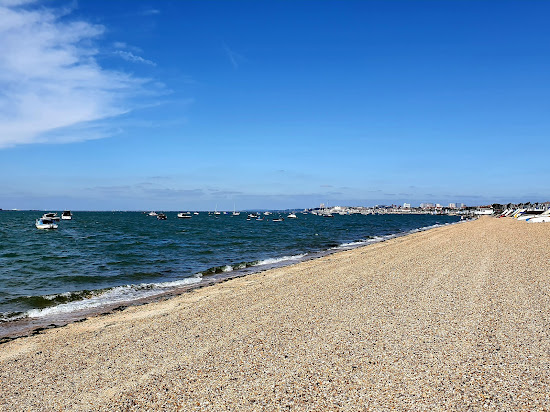
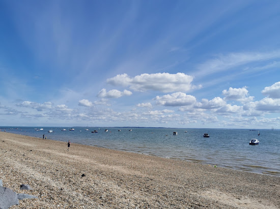
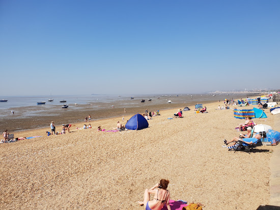

Shoebury beach
1.8 km keskustasta Shoeburyness

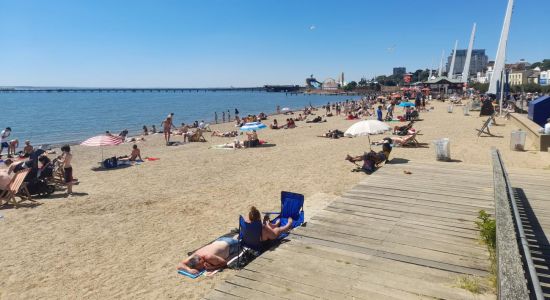
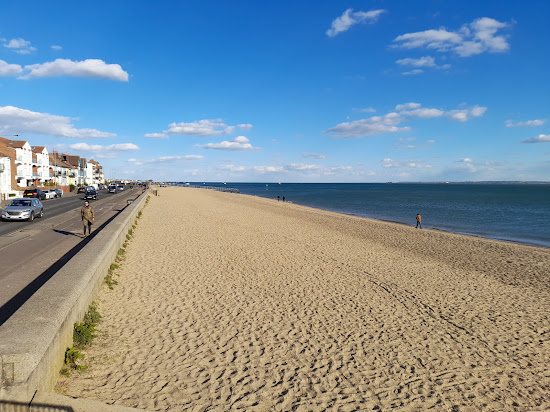
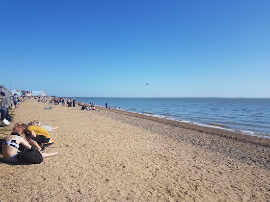


Juhannusranta
5.1 km keskustasta Shoeburyness

Frintonin ranta
45.6 km keskustasta Shoeburyness
Sandgate-ranta
56.3 km keskustasta Shoeburyness
Greatstone beach
63.5 km keskustasta Shoeburyness
Vaikea valita?
Käytä rantakarttaa ja suodata:
- Hiekka vai pikkukivet
- Rauhallinen vai vilkas
- Pysäköinti ja kulku...
- Yleinen ranta vai rantaklubi
- Kävelyetäisyys
Shoebury beach
1.8 km keskustasta Shoeburyness
Juhannusranta
5.1 km keskustasta Shoeburyness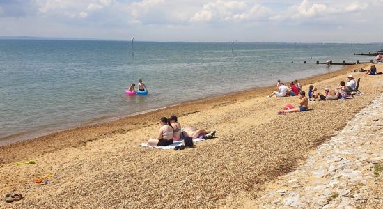
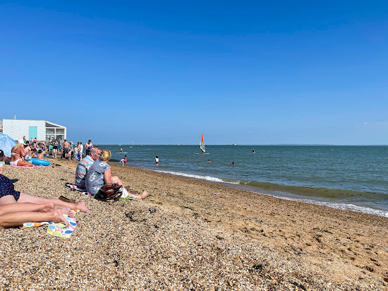
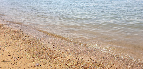
Westcliff beach
7.2 km keskustasta Shoeburyness

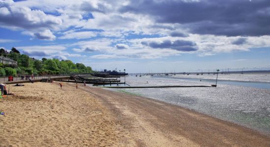
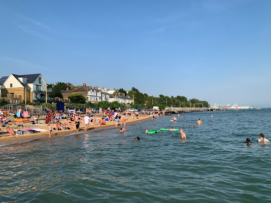
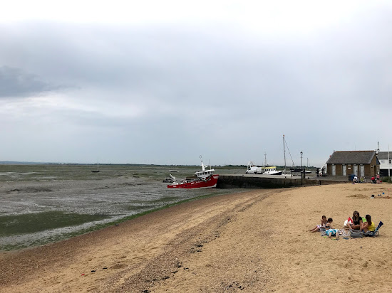
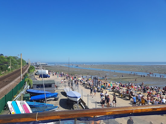
Bell Wharf beach
10 km keskustasta Shoeburyness

Sheernessin ranta
10.1 km keskustasta Shoeburyness
Thorney Bay Beach
14.6 km keskustasta ShoeburynessVaikea valita?
Käytä rantakarttaa ja suodata:
- Hiekka vai pikkukivet
- Rauhallinen vai vilkas
- Pysäköinti ja kulku...
- Yleinen ranta vai rantaklubi
- Kävelyetäisyys
Shoebury Itä-ranta
0.5 km keskustasta Shoeburyness
Shoebury beach
1.8 km keskustasta Shoeburyness
Juhannusranta
5.1 km keskustasta Shoeburyness
Westcliff beach
7.2 km keskustasta Shoeburyness
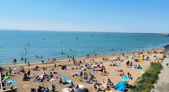
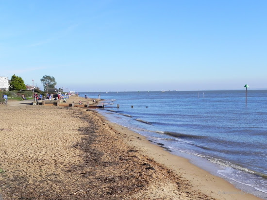
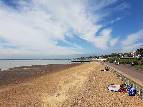

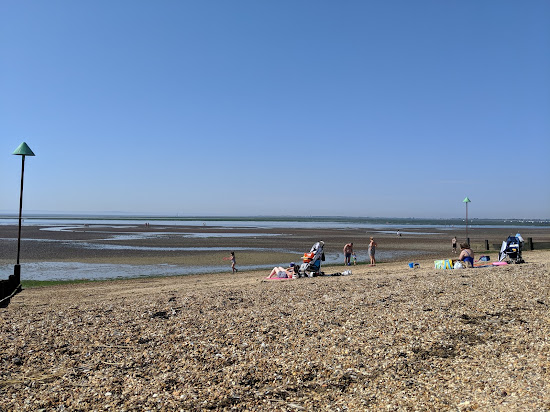
Chalkwellin ranta
8.7 km keskustasta Shoeburyness

Bell Wharf beach
10 km keskustasta Shoeburyness
Vaikea valita?
Käytä rantakarttaa ja suodata:
- Hiekka vai pikkukivet
- Rauhallinen vai vilkas
- Pysäköinti ja kulku...
- Yleinen ranta vai rantaklubi
- Kävelyetäisyys
Yantletin ranta
10.5 km keskustasta Shoeburyness
Stone Bay beach
48.5 km keskustasta Shoeburyness
Dumpton Gap beach
48.9 km keskustasta Shoeburyness


Hythe-ranta
55.4 km keskustasta Shoeburyness

Walmer beach
55.6 km keskustasta Shoeburyness


Dovercourtin ranta
55.7 km keskustasta Shoeburyness

Vaikea valita?
Käytä rantakarttaa ja suodata:
- Hiekka vai pikkukivet
- Rauhallinen vai vilkas
- Pysäköinti ja kulku...
- Yleinen ranta vai rantaklubi
- Kävelyetäisyys