Comitatul Medway: 1 plajă în zonă
Anglia, Regatul Unit al Marii Britanii și al Irlandei de Nord
Caracteristici cheie: Plaja sălbatică, Cu animale, Relaxare
Vezi 1 plajă pe hartă
Vizualizarea pe hartă include mai multe plaje, prețurile hotelurilor din apropiere și filtre pentru tipul de plajă, suprafață, aglomerație și facilități.
Deschide harta
Se afișează 1 din 1

Relaxare
Foarte bun
28 recenzii
8.2
Plajă publică
Plajă naturală (fără facilități)
Acces facil
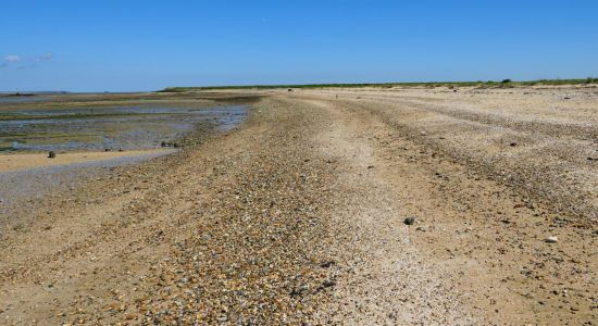
Nisip beige și pietricele
Apă turcoaz tulbure
Zonă mare de maree


SunnyBarcelona
Plajaș începător
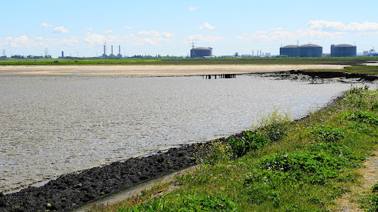
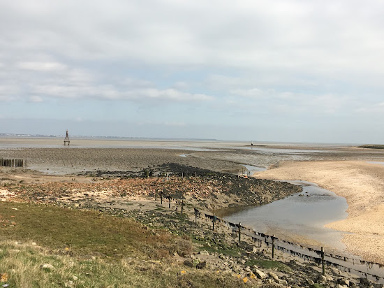
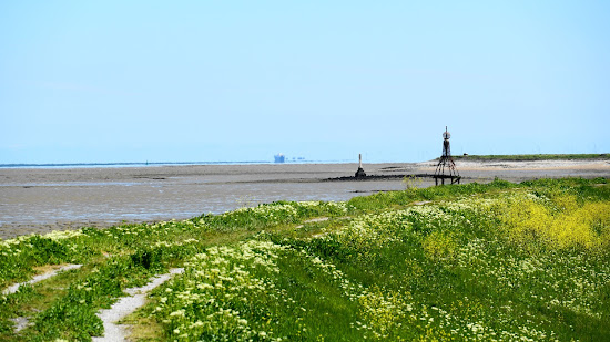
This is a fantastic walk starting from Allhallows. The London Stone marks the entrance to Yantlet Creek on the Grain side. You'll enjoy stunning views across the Thames to Southend and Shoeburyness. The tranquility and abundance of wildlife along the way are truly blissful, with many land and sea birds to observe. Be cautious around cattle, especially if they have calves. Unfortunately, you can't walk all the way around the coast to Grain village due to a restricted area, which is marked on an OS map. However, you can head in the other direction and walk to Gravesend, which is at least 10 miles away. At the entrance to Yantlet Creek, you'll find large banks of shells that resemble sand, with patches of clay mud. The creek extends a good distance inland and is too wide to cross. It might be possible at low tide with boots, but avoid the mud. Historically, this creek is what made the Isle of Grain an island. As it approaches the Grain road before the Power Station, the creek narrows into a ditch. Use an OS map to navigate public footpaths. The entire area consists of farmland, a no-go zone (MoD range), and land belonging to the power station.
Nu te poți decide?
Folosește harta plajelor pentru a filtra după:
- Nisip sau pietriș
- Liniște sau distracție
- Parcare și acces...
- Plajă publică sau club pe plajă
- Distanță de mers pe jos
Nu te poți decide?
Folosește harta plajelor pentru a filtra după:
- Nisip sau pietriș
- Liniște sau distracție
- Parcare și acces...
- Plajă publică sau club pe plajă
- Distanță de mers pe jos