梅德韦郡: 该地区有 1 片海滩

英格兰, 英国/英國

主要功能: 野生海滩, 宠物友好, 适合放松

在地图上查看 1 个海滩

地图模式包含更多海滩、周边酒店价格,以及海滩类型、沙滩材质、拥挤程度和配套设施等筛选条件。

打开地图
显示 1 / 共 1
适合放松
公共海滩
自然海滩(无设施)
易于访问
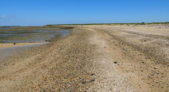
米色沙子与卵石
浑浊的绿松石色水
大潮汐区
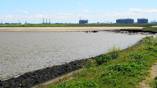
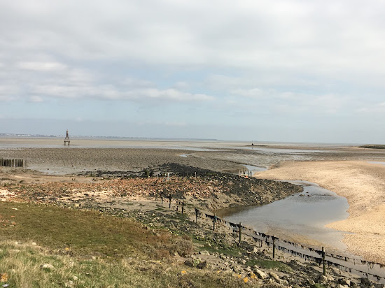
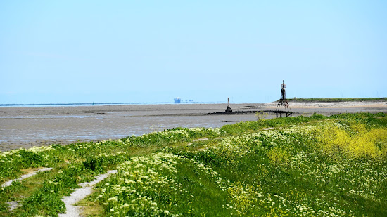
从Allhallows步行出发,那是一个阳光明媚的日子。潮水完全退去,因此可以通过一些方便的位置的岩石轻松穿越Yantlet Creek,踏上那里的沙滩。我不确定这是否是私人土地,但没有任何标志表示其他情况,所以可以继续前进。有几个其他行人在享受良好的天气和低潮。低潮时可以走到历史悠久的伦敦石(有些图片中的石柱),如果想了解更多,可以在维基百科上查找它。清澈的视野可以看到南端,以及两个方向的壮丽景色。一个非常宜人的地方,安静而宁和。我度过了一次美妙的步行,将在好天气时再次前来。
Avatar
SunnyBarcelona
新手海滩游客
This is a fantastic walk starting from Allhallows. The London Stone marks the entrance to Yantlet Creek on the Grain side. You'll enjoy stunning views across the Thames to Southend and Shoeburyness. The tranquility and abundance of wildlife along the way are truly blissful, with many land and sea birds to observe. Be cautious around cattle, especially if they have calves. Unfortunately, you can't walk all the way around the coast to Grain village due to a restricted area, which is marked on an OS map. However, you can head in the other direction and walk to Gravesend, which is at least 10 miles away. At the entrance to Yantlet Creek, you'll find large banks of shells that resemble sand, with patches of clay mud. The creek extends a good distance inland and is too wide to cross. It might be possible at low tide with boots, but avoid the mud. Historically, this creek is what made the Isle of Grain an island. As it approaches the Grain road before the Power Station, the creek narrows into a ditch. Use an OS map to navigate public footpaths. The entire area consists of farmland, a no-go zone (MoD range), and land belonging to the power station.
查看更多评论

难以抉择?

使用海滩地图按以下条件筛选:

  • 沙滩或鹅卵石
  • 安静或热闹
  • 停车和交通...
  • 公共海滩或海滩俱乐部
  • 步行可达
查看全部并筛选